|
|
Help |
| Home - Basic N - North Dakota Maps (Books) | |
e99 Online Shopping Mall
|
|
Help |
| Home - Basic N - North Dakota Maps (Books) | |
| Back | 41-60 of 102 | Next 20 |
click price to see details click image to enlarge click link to go to the store
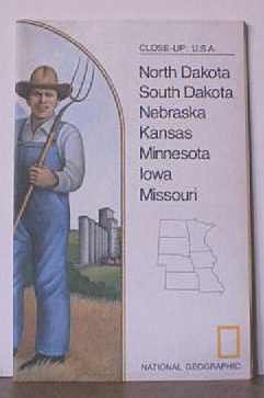
| 41. CLOSE-UP: U.S.A. -- NORTH DAKOTA, SOUTH DAKOTA, NEBRASKA, KANSAS, MINNESOTA, IOWA, MISSOURI. Full-color National Geographic Map. 1974. by National Geographic | |
 | Map:
Pages
(1975)
-- used & new: US$4.95 (price subject to change: see help) Asin: B000N5UJBC Canada | United Kingdom | Germany | France | Japan |
|
Editorial Review Product Description | |
| 42. Great Plains Glaciotectonics (North Dakota Geological Survey, Miscellaneous Map) by J. S. Aber, J. P. Bluemle | |
| Map:
Pages
(1991)
Asin: B001OK4AME Canada | United Kingdom | Germany | France | Japan | |
|
Editorial Review Product Description | |
| 43. North Dakota 1974 Official Highway Map (Road/Highway Map) by North Dakota State Highway Department | |
| Unknown Binding:
Pages
(1974)
Asin: B0045VNLEW Canada | United Kingdom | Germany | France | Japan | |
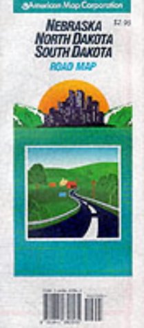
| 44. Nebraska North Dakota South Dakota: Road Map (Travelvision State Maps) by American Map Corporation | |
 | Map:
Pages
(1997-06)
list price: US$3.95 Isbn: 084165056X Canada | United Kingdom | Germany | France | Japan |
|
Editorial Review Product Description | |
| 45. North Dakota. Arbuckle Bros. Coffee Co. trade card: map and vignette illustrations. by NORTH DAKOTA) | |
| Unknown Binding:
Pages
(1889)
Asin: B004563BOW Canada | United Kingdom | Germany | France | Japan | |
| 46. National Geographic Map - Close-up: U.S.A. - North Dakota, South Dakota, Nebraska, Kansas, Minnesota, Iowa, Missouri - 1974 (MAP ONLY) by UNKNOWN | |
| Map:
Pages
(1974-01-01)
Asin: B003JQP8JK Canada | United Kingdom | Germany | France | Japan | |
| 47. North Dakota: Every town on the map and more : a pictorial history by Vernell Johnson | |
| Unknown Binding: 320
Pages
(2002)
-- used & new: US$77.00 (price subject to change: see help) Asin: 0966646819 Canada | United Kingdom | Germany | France | Japan | |
| 48. 1:100 000-scale metric topographic map of Ekalaka, Montana--South Dakota--North Dakota : 30 x 60 minute series (topographic) (SuDoc I 53.11/4:45104-E 1-TM-100/983) by U.S. Dept of Interior | |
| Unknown Binding:
Pages
(1983)
Asin: B00010LF76 Canada | United Kingdom | Germany | France | Japan | |
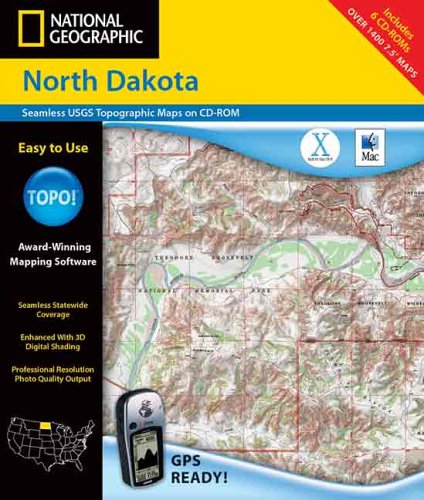
| 49. National Geographic North Dakota: Seamless Usgs Topographic Maps by Geological Survey, Rand McNally | |
 | Hardcover: 6
Pages
(2003-01)
list price: US$99.95 Isbn: 0792288300 Canada | United Kingdom | Germany | France | Japan |
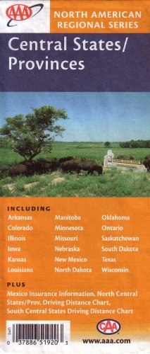
| 50. AAA Central States / Provinces: Arkansas, Colorado, Illinois, Iowa, Kansa, Louisiana, Manitoba, Minnesota, Missouri, Nebraska, New Mexico, North Dakota, Oklahoma, Ontario, Sakatchewan, South Dakota, Texas, Wisconsin: Plus Mexico Insurance Information (North American Regional Series 2004, 2004-521803, 037886519203) by AAA, CAA | |
 | Map: 1
Pages
(2004)
-- used & new: US$0.99 (price subject to change: see help) Asin: 1562519204 Canada | United Kingdom | Germany | France | Japan |
| 51. Guide to the Geology of Northeast North Dakota by Mary Bluemle | |
| Unknown Binding:
Pages
(1975-01-01)
Asin: B003X64VXU Canada | United Kingdom | Germany | France | Japan | |
| 52. A BIOLOGICAL SURVEY OF NORTH DAKOTA. I. PHYSIOGRAPHY AND LIFE ZONES. II. THE MAMMALS. by V. Bailey | |
| Paperback:
Pages
(1927-01-01)
Asin: B000WP81GS Canada | United Kingdom | Germany | France | Japan | |
| 53. State Geological Survey of North Dakota: Second Biennial Report by Frank A. Wilder | |
| Hardcover:
Pages
(1902)
Asin: B000M09WSY Canada | United Kingdom | Germany | France | Japan | |
| 54. Rand McNally Easyfinder North Dakota / South Dakota: Easyfinder | |
 | Map:
Pages
(2006-07-24)
list price: US$7.95 -- used & new: US$5.99 (price subject to change: see help) Asin: 0528863827 Canada | United Kingdom | Germany | France | Japan |
|
Editorial Review Product Description | |
| 55. National Geographic Trails Illustrated Theodore Roosevelt National Park: North Dakota, USA | |
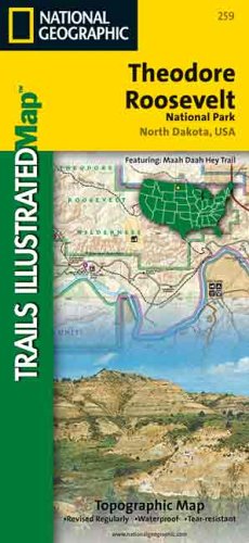 | Map:
Pages
(2002-12)
list price: US$9.95 -- used & new: US$9.39 (price subject to change: see help) Asin: 1566951399 Average Customer Review: Canada | United Kingdom | Germany | France | Japan |
|
Editorial Review Product Description Customer Reviews (1)
| |
| 56. Stratigraphic Sections from Well Logs and Outcrops of Cretaceous and Paleocene Rocks, Northern Great Plains, North Dakota and South Dakota - USGS Chart OC 72, Three Chart Set by Dudley D. Rice | |
| Map:
Pages
(1977-01-01)
Asin: B000SY7MTU Canada | United Kingdom | Germany | France | Japan | |
| 57. Close - Up USA: North Dakota, South Dakota, Nebraska, Kansas, Minnesota, Iowa, Missouri (Close - Up: USA) | |
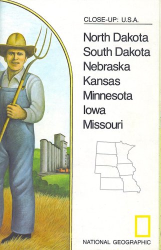 | Map:
Pages
(1974)
-- used & new: US$4.00 (price subject to change: see help) Asin: B001N0E39A Canada | United Kingdom | Germany | France | Japan |
|
Editorial Review Product Description | |
| 58. Rand Mcnally Bismark, North Dakota by Rand McNally and Company | |
 | Map:
Pages
(2009-07-20)
list price: US$4.95 -- used & new: US$4.95 (price subject to change: see help) Asin: 0528879200 Canada | United Kingdom | Germany | France | Japan |
| 59. Nebraska/North Dakota/South Dakota (State Fold Map) b | |
| Paperback:
Pages
(2001-01)
list price: US$4.95 -- used & new: US$4.95 (price subject to change: see help) Asin: 0762551321 Canada | United Kingdom | Germany | France | Japan | |
| 60. A WORKING MODEL COMPUTER MAP ATLAS OF ECONOMIC DEVELOPMENT IN NORTH DAKOTA | |
| Spiral-bound:
Pages
(1979)
Asin: B000RRMKY0 Canada | United Kingdom | Germany | France | Japan | |
| Back | 41-60 of 102 | Next 20 |