e99 Online Shopping Mall

Geometry.Net - the online learning center Help  
Home  - Basic N - North Dakota Maps (Books)

  Back | 21-40 of 102 | Next 20
A  B  C  D  E  F  G  H  I  J  K  L  M  N  O  P  Q  R  S  T  U  V  W  X  Y  Z  

click price to see details     click image to enlarge     click link to go to the store

 
21. Commercial Reference Map and Guide:
 
22. 1:100 000-scale metric topographic
 
23. 1:100 000-scale metric topographic
$118.89
24. Rand McNally North Dakota South
$4.75
25. Rand Mcnally North Dakota/South
$36.99
26. Raven Wall Map for the State of
 
$1.99
27. National Geographic the North
$49.99
28. Raven Wall Map for the State of
$43.70
29. Family Maps of Kidder County,
 
$39.86
30. North/South Dakota State Map (State
 
31.
 
32.
$38.95
33. Family Maps of Barnes County,
$38.95
34. Family Maps of Kidder County,
 
35. North Dakota 1973 Highway Map
$4.95
36. North & South Dakota State
$43.70
37. Family Maps of Barnes County,
 
38. MAP of Dakota [verso: Minnesota,
 
$159.50
39. North Dakota (State Wall Maps)
$24.98
40. Rand McNally streets of Fargo

21. Commercial Reference Map and Guide: North Dakota
by Rand McNally and Company
 Paperback: Pages (1983-09)
list price: US$5.95
Isbn: 0528221477
Canada | United Kingdom | Germany | France | Japan

22. 1:100 000-scale metric topographic map of McClusky, North Dakota: 30 x 60 minute series (topographic) (Surface management status)
by United States
 Unknown Binding: Pages (1982)

Isbn: 0607344326
Canada | United Kingdom | Germany | France | Japan

23. 1:100 000-scale metric topographic map of McClusky, North Dakota, 1979 : 30 x 60 minute series (topographic) (SuDoc I 19.110:47100-A 1-TM-100/993)
by U.S. Geological Survey
 Unknown Binding: Pages (1993)

Asin: B00010JUUA
Canada | United Kingdom | Germany | France | Japan

24. Rand McNally North Dakota South Dakota: State Map (State Maps-USA)
Paperback: Pages (1999-08)
list price: US$3.95 -- used & new: US$118.89
(price subject to change: see help)
Asin: 0528974211
Canada | United Kingdom | Germany | France | Japan

25. Rand Mcnally North Dakota/South Dakota State Map
Map: Pages (2006-07-24)
list price: US$4.95 -- used & new: US$4.75
(price subject to change: see help)
Asin: 0528863835
Canada | United Kingdom | Germany | France | Japan
Editorial Review

Product Description
How do you navigate a state without a Rand McNally map? A must-have for all who drive, the Rand McNally North and South Dakota State folded map offers a full-color map that shows: Interstate, U.S., state and county highways, parks, points of interest, airports, county boundaries and streets. Detailed indices help travelers locate destinations. ... Read more


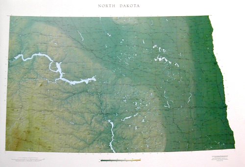
26. Raven Wall Map for the State of North Dakota - Paper
by Raven Maps
Unknown Binding: Pages (2003)
-- used & new: US$36.99
(price subject to change: see help)
Asin: B003N3J0LG
Canada | United Kingdom | Germany | France | Japan
Editorial Review

Product Description
Raven Wall Map For The State Of North Dakota (Paper). All Raven state wall maps display an incredible amount of detail, from cities, highways, and mountain ranges, to valleys, rivers, and small towns. The North Dakota map elevations are represented by color, and this, in combination with Raven's relief shading technique, gives the map a lush, 3-dimensional look.Size = 35 x 51 Inches ... Read more


27. National Geographic the North Central States: Close-Up : USA Regional Map & Travel Planner : North Dakota, South Dakota, Nebraska, Kansas, Minnesota, Iowa, Missouri (Close-Up, USA)
by National Geographic Society
 Paperback: Pages (1998-07)
list price: US$7.95 -- used & new: US$1.99
(price subject to change: see help)
Asin: 1572624191
Canada | United Kingdom | Germany | France | Japan

28. Raven Wall Map for the State of North Dakota - Laminated
by Raven Maps
Unknown Binding: Pages (2003)
-- used & new: US$49.99
(price subject to change: see help)
Asin: B003N3H69Y
Canada | United Kingdom | Germany | France | Japan
Editorial Review

Product Description
Raven Wall Map For The State Of North Dakota (Laminated). All Raven state wall maps display an incredible amount of detail, from cities, highways, and mountain ranges, to valleys, rivers, and small towns. The North Dakota map elevations are represented by color, and this, in combination with Raven's relief shading technique, gives the map a lush, 3-dimensional look.Size = 35 x 51 Inches ... Read more


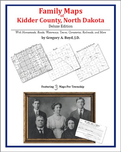
29. Family Maps of Kidder County, North Dakota
by Gregory A. Boyd
Spiral-bound: Pages (2010)
-- used & new: US$43.70
(price subject to change: see help)
Asin: 1420310968
Canada | United Kingdom | Germany | France | Japan

30. North/South Dakota State Map (State Maps-USA)
by Rand McNally
 Paperback: 1 Pages (1995-01)
list price: US$2.50 -- used & new: US$39.86
(price subject to change: see help)
Asin: 0528969722
Average Customer Review: 1.0 out of 5 stars
Canada | United Kingdom | Germany | France | Japan

Customer Reviews (1)

1-0 out of 5 stars it is stupid
it is stupid , crazy , wild ,ect.. ... Read more


31.
 

Canada | United Kingdom | Germany | France | Japan

32.
 

Canada | United Kingdom | Germany | France | Japan

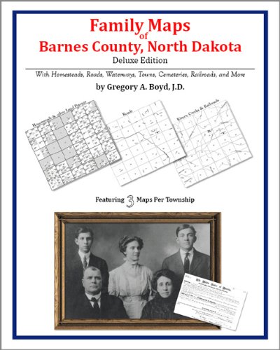
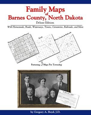
33. Family Maps of Barnes County, North Dakota, Deluxe Edition
by Gregory A. Boyd
Paperback: 430 Pages (2010-07-16)
-- used & new: US$38.95
(price subject to change: see help)
Asin: 1420315439
Canada | United Kingdom | Germany | France | Japan
Editorial Review

Product Description
Locating original landowners in maps has never been an easy task--until now. This volume in the Family Maps series contains newly created maps of original landowners (patent maps) in what is now Barnes County, North Dakota, gleaned from the indexes of the U.S. Bureau of Land Management. But it offers much more than that. For each township in the county, there are two additional maps accompanying the patent map: a road map and a map showing waterways, railroads, and both modern and many historical city-centers and cemeteries.

Included are indexes to help you locate what you are looking for, whether you know a person's name, a last name, a place-name, or a cemetery. The combination of maps and indexes are designed to aid researchers of American history or genealogy to explore frontier neighborhoods, examine family migrations, locate hard-to-find cemeteries and towns, as well as locate land based on legal descriptions found in old documents or deeds.

The patent-maps are essentially plat maps but instead of depicting owners for a particular year, these maps show original landowners, no matter when the transfer from the federal government was completed. Dates of patents typically begin near the time of statehood and run into the early 1900s.

This high-quality paperback book from the critically acclaimed Family Maps series measures 8-3/8" wide x 10-5/8" high. ... Read more


34. Family Maps of Kidder County, North Dakota, Deluxe Edition
by Gregory A. Boyd
Paperback: 436 Pages (2010-07-16)
-- used & new: US$38.95
(price subject to change: see help)
Asin: 1420315560
Canada | United Kingdom | Germany | France | Japan
Editorial Review

Product Description
Locating original landowners in maps has never been an easy task--until now. This volume in the Family Maps series contains newly created maps of original landowners (patent maps) in what is now Kidder County, North Dakota, gleaned from the indexes of the U.S. Bureau of Land Management. But it offers much more than that. For each township in the county, there are two additional maps accompanying the patent map: a road map and a map showing waterways, railroads, and both modern and many historical city-centers and cemeteries.

Included are indexes to help you locate what you are looking for, whether you know a person's name, a last name, a place-name, or a cemetery. The combination of maps and indexes are designed to aid researchers of American history or genealogy to explore frontier neighborhoods, examine family migrations, locate hard-to-find cemeteries and towns, as well as locate land based on legal descriptions found in old documents or deeds.

The patent-maps are essentially plat maps but instead of depicting owners for a particular year, these maps show original landowners, no matter when the transfer from the federal government was completed. Dates of patents typically begin near the time of statehood and run into the early 1900s.

This high-quality paperback book from the critically acclaimed Family Maps series measures 8-3/8" wide x 10-5/8" high. ... Read more


35. North Dakota 1973 Highway Map (Road/Highway Map)
by North Dakota State Highway Department
 Unknown Binding: Pages (1973)

Asin: B0045VLXIS
Canada | United Kingdom | Germany | France | Japan

36. North & South Dakota State Map
by Universal Map
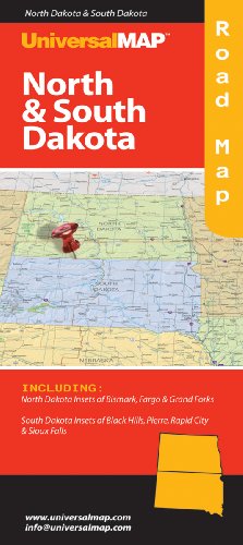
Map: Pages (2009-04-14)
list price: US$4.95 -- used & new: US$4.95
(price subject to change: see help)
Asin: 0762565659
Canada | United Kingdom | Germany | France | Japan

37. Family Maps of Barnes County, North Dakota Deluxe Edition
by Gregory A. Boyd
Spiral-bound: Pages (2009)
-- used & new: US$43.70
(price subject to change: see help)
Asin: 1420310682
Canada | United Kingdom | Germany | France | Japan

38. MAP of Dakota [verso: Minnesota, North Carolina]
by G F Cram
 Map: Pages (1887-01-01)

Asin: B0011XQO78
Canada | United Kingdom | Germany | France | Japan

39. North Dakota (State Wall Maps)
by Universal Map
 Map: Pages (2005-09-14)
list price: US$159.50 -- used & new: US$159.50
(price subject to change: see help)
Asin: 0762539267
Canada | United Kingdom | Germany | France | Japan
Editorial Review

Product Description
The 1st edition of the North Dakota State Wall Map measures 63 x 51. Provides up-to-date cartography at a scale of 1 = 6.6 miles. Printed in color with a markable/washable-laminated surface.
Cities and counties are indexed on the face of the map. Mounted top and bottom on hanging rails for ease in mounting. Special features include color-coded counties with county seat and populations and a mileage chart between major cities.

Details all state and federal highways, secondary roads, cities and towns, major airports, major waterways, state universities, military installations, state and national parks, exit numbers, longitude/latitude lines, and various points of interest.

Railed wall maps can be turned into pull down maps on spring rollers for an additional $30. ... Read more


40. Rand McNally streets of Fargo & Moorehead, North Dakota/Minnesota
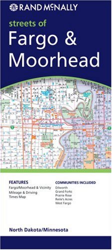
Map: Pages (2007-03-05)
list price: US$4.95 -- used & new: US$24.98
(price subject to change: see help)
Asin: 0528863290
Canada | United Kingdom | Germany | France | Japan

  Back | 21-40 of 102 | Next 20
A  B  C  D  E  F  G  H  I  J  K  L  M  N  O  P  Q  R  S  T  U  V  W  X  Y  Z  

Prices listed on this site are subject to change without notice.
Questions on ordering or shipping? click here for help.

site stats